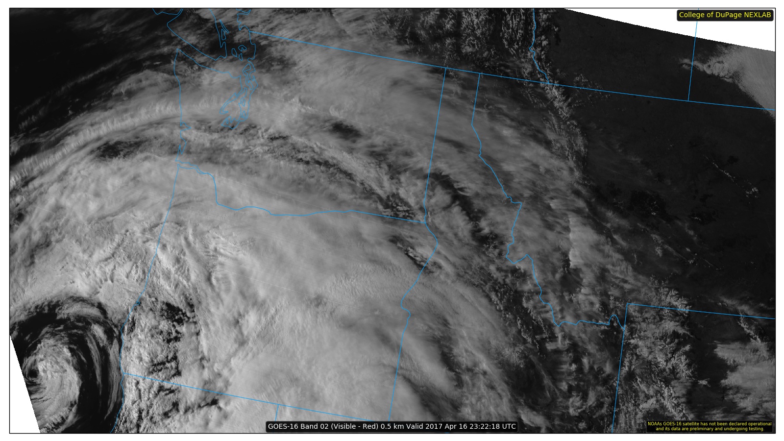
A GOES-16 satellite image of the Pacific Northwest, showing cloud cover over much of the region, via a website created by the College of DuPage.
The new GOES-16 weather satellite has been in orbit since November 16, 2016 and some of the imagery is available in real time. It is marvelous. The spatial resolution of the imagery is higher than the current operational weather satellites, but what really is a game change is the frequency of observation, with new images every 5 minutes versus every 15 minutes for the current operational systems.
Animation: